Trail highlights
- Heavily used paved rail-trail from Georgetown waterfront to Maryland
- NPS e-bike access with pedal requirement and 15 mph speed limit
- Hub connecting C&O towpath, Rock Creek Trail, and Bethesda corridor
- Dalecarlia Reservoir views on the approach to the state line
- Montgomery County Class 1-only rules begin at the Maryland border
Route Overview: Georgetown to the Maryland Line
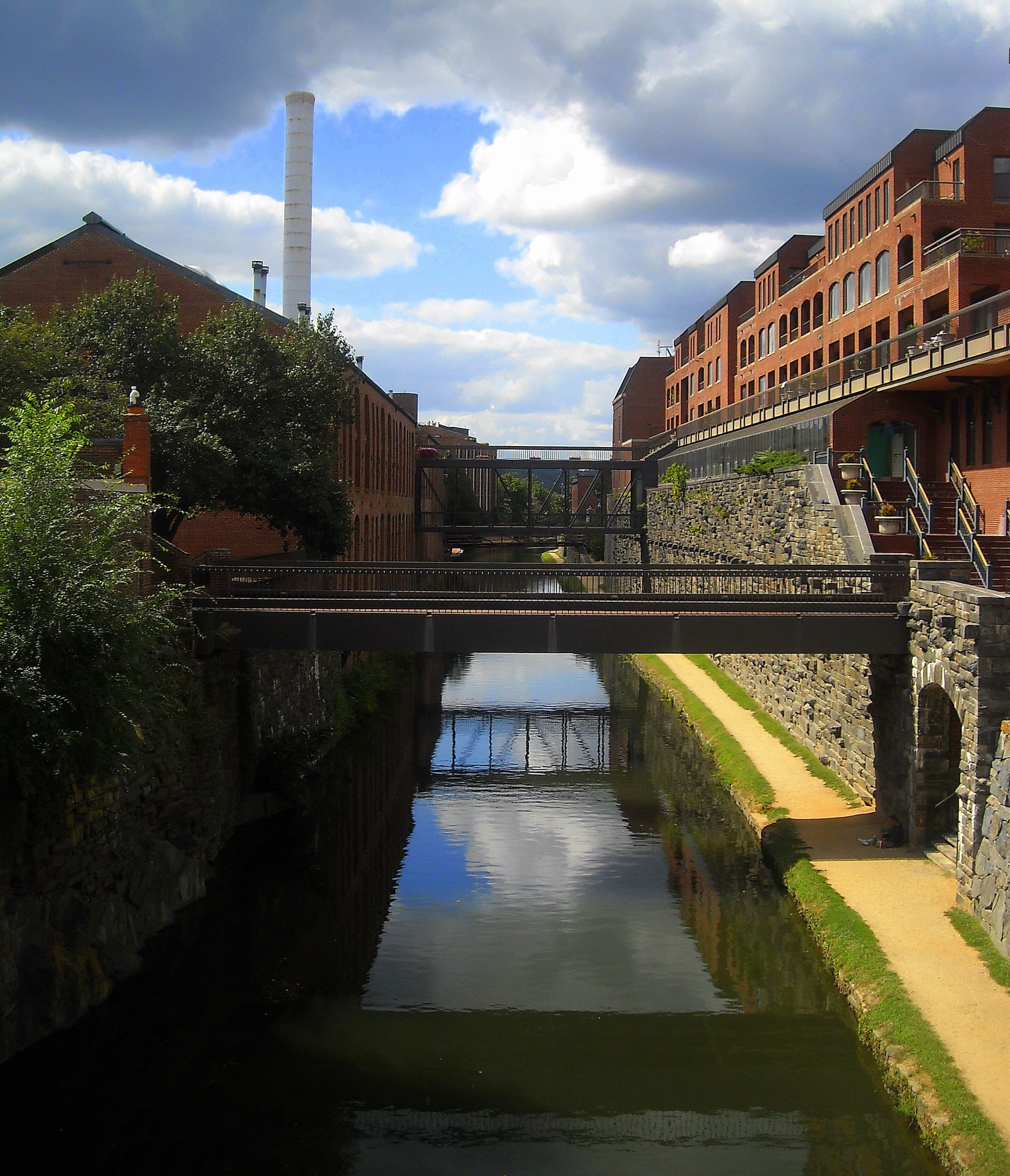
The Capital Crescent Trail follows the bed of the former Georgetown Branch of the Baltimore and Ohio Railroad from the Georgetown waterfront to Bethesda, Maryland. The National Park Service manages and maintains the 3.7-mile District segment as part of Chesapeake and Ohio Canal National Historical Park. Montgomery County Parks (M-NCPPC) maintains the remaining distance into Bethesda.
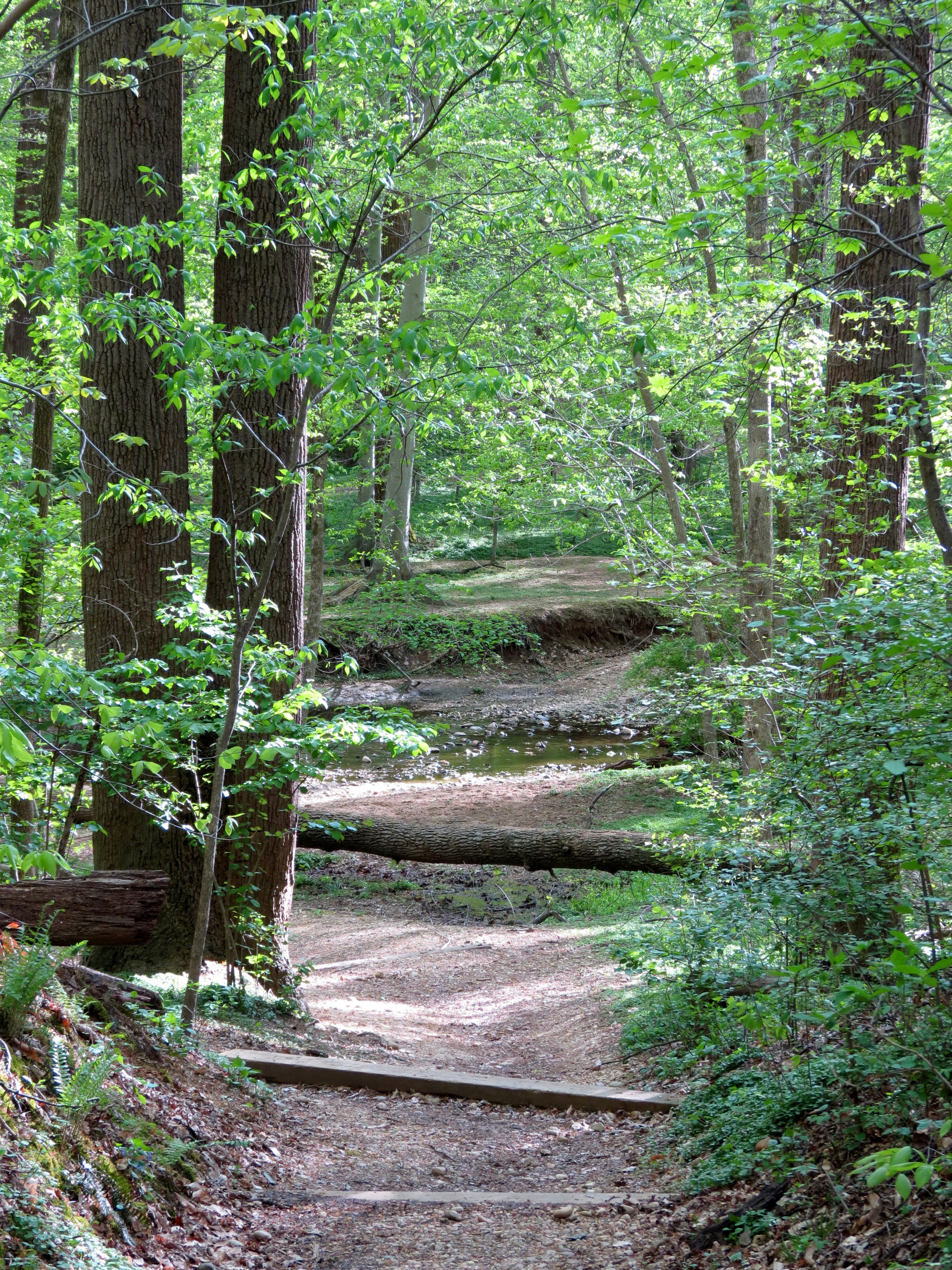
The D.C. section is fully paved, generally flat, and among the most heavily trafficked rail-trails in the country. Runners, dog walkers, tourists, commuters, and road cyclists share a corridor that narrows through wooded cuts and passes over the Potomac on the Dalecarlia Reservoir bridge approach before reaching the Maryland line near the District boundary.
The trail terminus in Georgetown sits at Water Street NW near the C&O Canal towpath and Rock Creek Trail connections, making this segment a hub for Potomac-side riding. A planned Purple Line transit project affects the Bethesda end in Maryland but the Georgetown-to-border segment remains a core regional route.
E-Bike Access: NPS in D.C., Class 1 Only in Maryland
On the NPS-managed D.C. segment, e-bikes are allowed where traditional bicycles are allowed. Requirements match the C&O Canal compendium: operable pedals, motor under 750 watts, no throttle-only riding on the trail, and a 15 mph maximum speed. D.C. motorized bicycle law—20 mph motor cap, operators 16 and older—is adopted into the NPS compendium for the District.
Once you cross into Montgomery County, M-NCPPC policy restricts e-bikes to Class 1 pedal-assist models with motors rated 500 watts or less. Class 2 throttle bikes and Class 3 speed pedelecs that were compliant on the NPS segment may be prohibited on the Maryland side even if they meet D.C.'s 20 mph definition. Stop and verify your bike class before continuing north.
Class 3 e-bikes are not legal motorized bicycles in D.C. regardless of NPS federal language. For daily commuters crossing the line, a Class 1 e-bike is the only configuration legal on both sides of the boundary.
Highlights on the D.C. Segment
The Georgetown terminus puts you at the heart of the waterfront dining and canal heritage district. The trail passes through wooded buffers that feel removed from city noise despite running parallel to busy corridors.
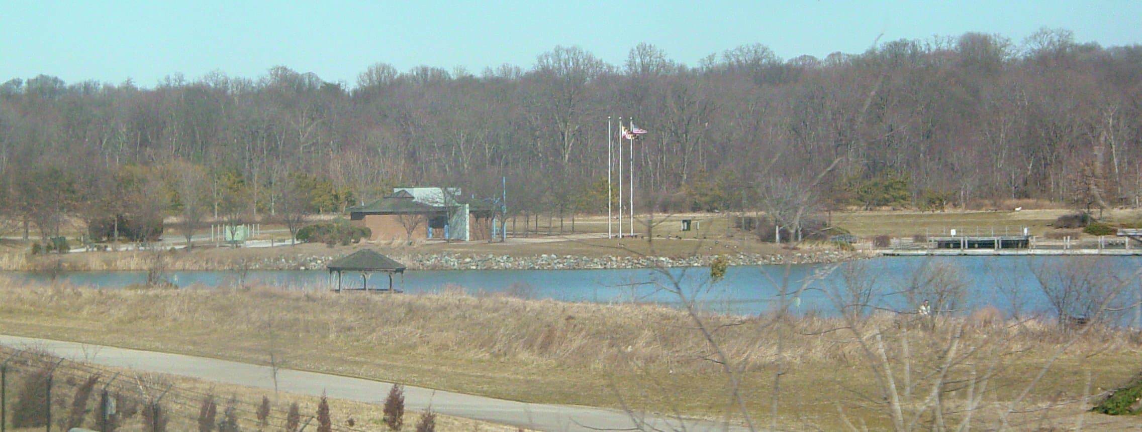
The Dalecarlia Reservoir crossing offers one of the trail's signature views—a brief opening over the water supply landscape before entering the final approach to Maryland. Interpretive signage marks the railroad history of the corridor.
For e-bike riders, the Capital Crescent is a fast commuter spine when ridden respectfully—but weekend congestion demands patience and low assist levels through Georgetown and the narrowest wooded sections.
- Georgetown waterfront trailhead at Water Street NW
- Paved, flat rail-trail through wooded Potomac hillside
- Dalecarlia Reservoir bridge approach and river views
- Direct connection to C&O Canal towpath and Rock Creek Trail
- 3.7-mile NPS segment before Montgomery County jurisdiction
Access Points and Parking
The primary D.C. trailhead is at the Capital Crescent terminus on Water Street NW in Georgetown. Street parking is scarce on weekends; arrive early or use Foggy Bottom Metro with a short ride west.
Secondary access points appear at cross streets and trail crossings through the Palisades and Bethesda approaches, though Georgetown is the logical start for D.C.-only rides. Capital Bikeshare docks sit near the waterfront.
The Arizona Avenue trail connection and MacArthur Boulevard crossing serve Palisades neighborhood access. There are no restrooms directly on the narrow trail corridor—plan stops in Georgetown before heading north.
Riding Tips on a Crowded Commuter Corridor
Ride single file, stay right, and pass on the left with a clear audible signal. Rush-hour weekday mornings and weekend midday bring the heaviest use. Drop to the lowest assist mode in Georgetown and near the trail terminus where pedestrians overflow.
The 15 mph NPS limit is lower than what many e-bikes can deliver—set a speed limiter if your display allows it. Pedal through congested zones even if throttle use is legal on D.C. streets; NPS requires pedaling on the trail.
If you plan to continue into Maryland, confirm Class 1 compliance before crossing the line. Many regional group rides pause at the border for this reason. Wet leaves in fall and shade ice in winter create traction hazards on the paved surface.
Bright front and rear lights help during dawn and dusk commutes when the wooded corridor darkens quickly. A bell is essential—the trail's popularity means pedestrians often cannot hear approaching bikes without a clear signal.
Seasonal Conditions
Peak congestion runs April through October on weekends. Cherry blossom season adds tourist traffic to Georgetown access routes. Summer humidity is tolerable in the shaded cuts but crowds are maximal.
Winter riding is viable—the paved surface clears faster than the adjacent towpath—but early-morning ice persists in shade. Fall leaf cover reduces traction on the Dalecarlia approach. DDOT and NPS occasionally close connectors during major waterfront events.
Nearby Trails and Connections
The C&O Canal towpath begins at Mile 0 adjacent to the Capital Crescent terminus—a crushed-stone alternative when you want softer scenery. Rock Creek Trail reaches Georgetown from the east via the Whitehurst Freeway underpass.
Into Maryland, the trail continues to Bethesda with M-NCPPC Class 1 e-bike rules. South and west, Potomac bridges reach the Mount Vernon Trail and Virginia's riverfront network for a multi-state loop.
E-bike policy
Follow DC e-bike rules and crowded-trail etiquette on the Georgetown segment.
Access points
- Georgetown Terminus (Water Street NW) — Primary trailhead; Capital Bikeshare; connections to C&O towpath and Rock Creek Trail.
- Arizona Avenue Connection — Palisades neighborhood access mid-corridor; on-street approach from MacArthur Boulevard area.
- D.C.–Maryland Boundary — Jurisdiction change near Dalecarlia; M-NCPPC Class 1 e-bike rules apply beyond this point.
Seasonal notes
Weekend and rush-hour congestion peak spring through fall. Shaded sections hold winter ice. Fall leaves reduce traction on the Dalecarlia approach. Verify Maryland Class 1 rules before crossing the border.
FAQ
Yes on the 3.7-mile NPS segment in D.C., with operable pedals, a motor under 750 watts, mandatory pedaling, and a 15 mph speed limit.